The Library Map of Vermont
The “Library Map of Vermont” was created in 1914 to track all 225 brick and mortar libraries as well as 267 traveling library stations around the state. In this episode we’ll ask; Can a map truly show what it means for a community to have a well-supported library… and when communities lack that?
This Episode’s Featured Object:
Library Map of Vermont, 1914 prepared under the direction of the State Free Public Library Commission
Amanda: When we showed Jessamyn the map that we were looking at for this episode, she recognized it immediately. But it turned out she also has made her own modern version of the map.
Jessamyn: But also I have a map that I made myself because I’m that kind of person. That’s a new version of this map that shows where the libraries are now. And I did it because I used to be on the board of the 251 club. Now should be called the 252 club because Essex and. You know the goal. It’s like a goofy club. Go to visit all the towns. Right? Vermont’s great. Go check out all the towns. And I was like, Well, I’m going to go see all the libraries.
Kellogg-Hubbard Library, Montpelier, Vt. United States Montpelier Vermont, ca. 1904
Vermont Free Public Library Commission Traveling Library box circa 1901
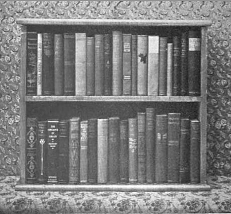
Books inside a Traveling Library box circa 1901
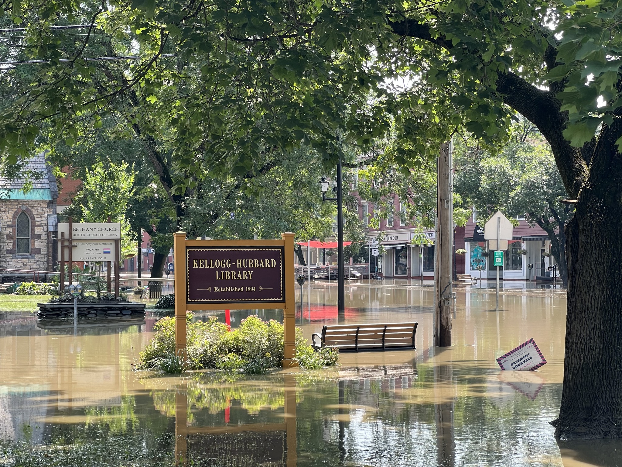
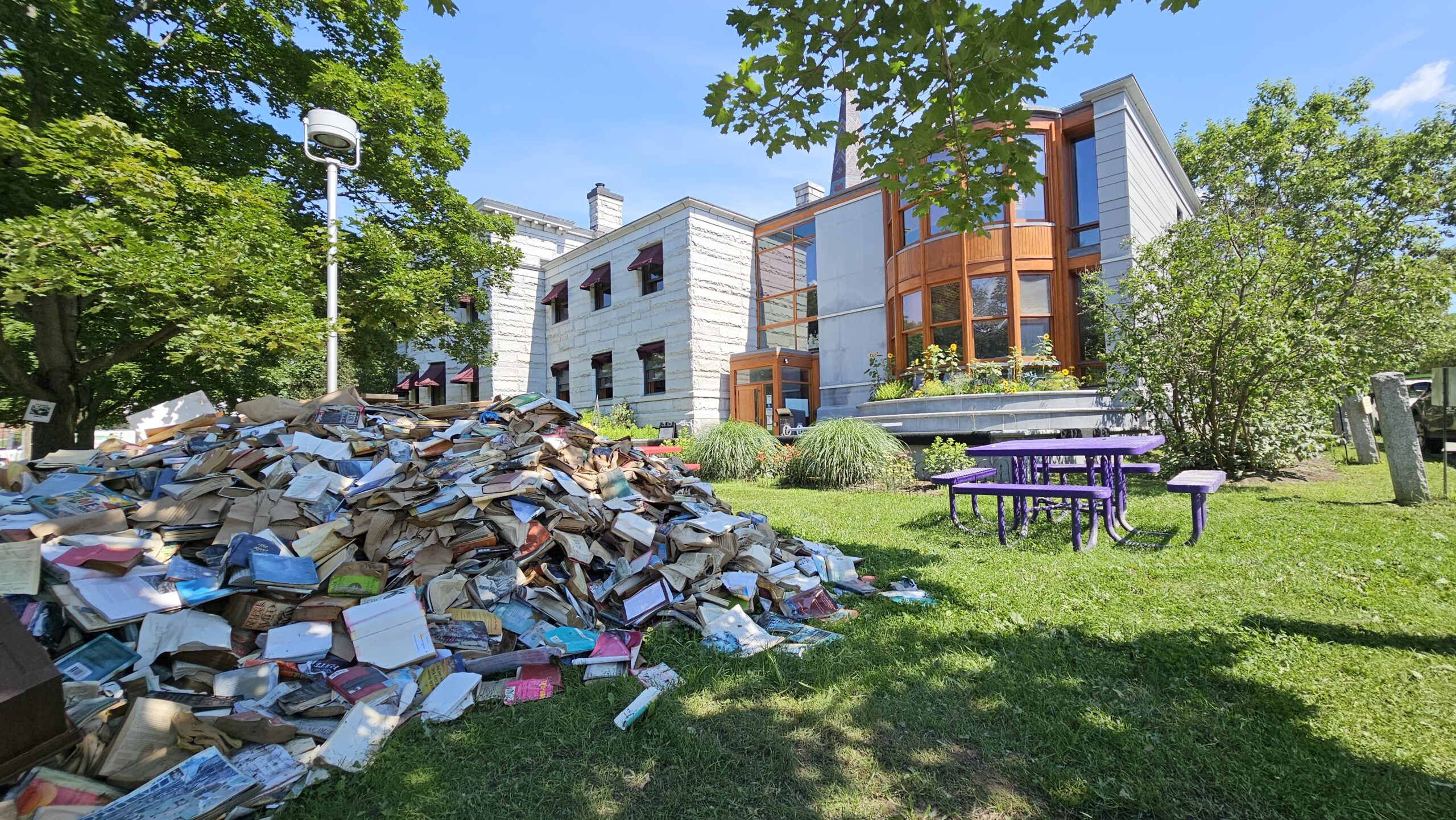
2023 Flooding of the Kellogg-Hubbard Library in Montpelier
Episode Transcript
Amanda Gustin: The objects that we’re looking at for these episodes are maps. Each one represents a different moment in Vermont, with questions that spiral out and persist to our present day.
The map we’re looking at for this episode covers the whole state – but just one whole sector of the state. It’s titled the “Library Map of Vermont,” and it was created in 1914 under the auspices of the State Free Public Library Commission – what is today the Vermont Department of Libraries.
There’s a lot of information packed into this map. It tracks all 225 libraries across the state, showing where they are and what their status, is as well as 267 state traveling library stations and where they went around the state. There are numbers that layer on information about how much state aid each library received in the previous fiscal year.
So this map tracks both geography and economics: it wants to show where books have gone, and how those books have been supported, whether by state or community aid.
Looking at this map, you start to get a sense of what it really means for a community to have a well-supported library…and what communities lack that. To really understand what that meant in 1914 and what it means today, we talked to some people with deep experience in Vermont libraries.
Episode Credits
Before Your Time is presented by Vermont Humanities and the Vermont Historical Society. This episode was produced by Amanda K Gustin, Ryan Newswanger, and Noel Clark. Thanks to our guests Kevin Graffagnino, David Paganelli, and Marjorie Strong. Special thanks for the support of this limited series goes to the Lake Champlain Basin Program and their Champlain Valley National Heritage Partnership Corridor of Commerce granting program.
Music is by Michael Chapman and the Woodpiles, Joel Hunger, Northwestern, Ben McElroy, and Hemlock.

![Kellogg Hubbard Detroit Publishing Co, C. C. & Detroit Publishing Co, P. (ca. 1904) Kellog i.e. Kellogg-Hubbard Library, Montpelier, Vt. United States Montpelier Vermont, ca. 1904. [Photograph] Retrieved from the Library of Congress, https://www.loc.gov/item/2016803461/.](https://www.beforeyourtime.org/wp-content/uploads/2024/07/Kellogg-Hubbard.jpg)


